An official website of the United States government. Here's how you know.


“It is difficult for our people at home to picture to themselves what took place upon the now smiling hillsides that surround this monument.”
Gen. John J. Pershing, August 1st, 1937 at the dedication ceremony for the American Monument at Montfaucon.
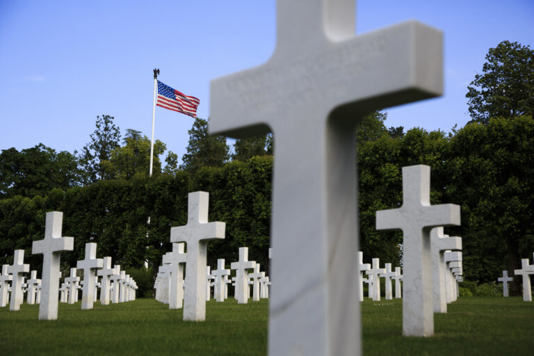
Nearly 100 years later it has become even more difficult for Americans to comprehend the experiences of the 1.2 million U.S. troops that fought in one of the largest military offensives in U.S. history. Teaching and Mapping the Geography of the Meuse Argonne Offensive is designed to help teachers and students, alike gain a deeper understanding and appreciation for the achievement, service, and sacrifice that occurred on the hills, fields, roads, towns, and farms of the Western Front between September 26th and November 11th 1918.
Contained in this website are a number of classroom ready resources and lesson plans that leverage interactive technologies (layered web maps, 3-D videos, and geo-tagged primary sources) to help you and your students see and analyze what our doughboys experienced, sacrificed, and achieved during World War I. Developed by Teresa Goodin, a 2014 Meuse-Argonne Transatlantic Teacher Scholar, and Chris Bunin, the 2016 National Council for Social Studies Outstanding Secondary Teacher of the Year, the lesson plans rely heavily on GIS mapping technology. It is our hope that these technologies will allow future generations to grasp why Gen. Pershing explained that the Meuse Argonne offensive “stands out as one of the very great achievements in the history of American Arms.”